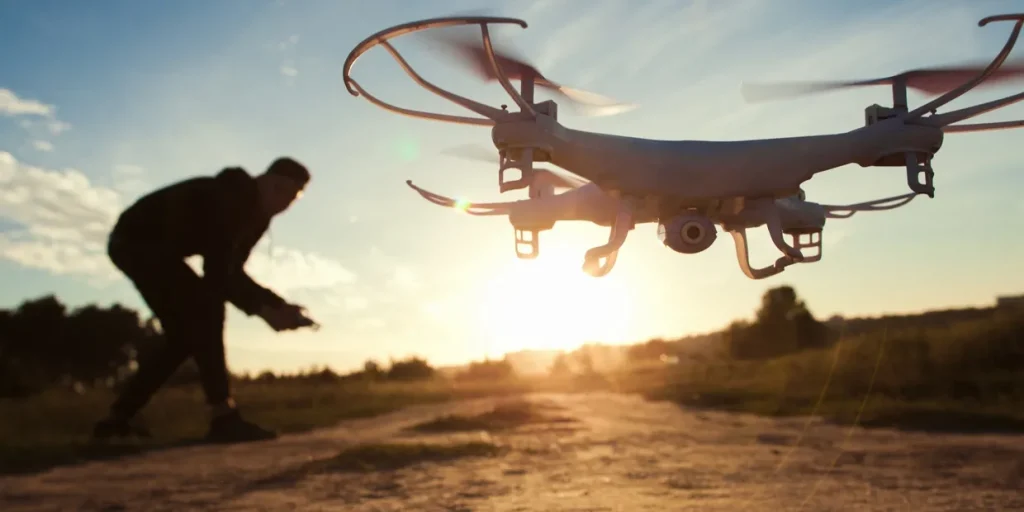
Our drones produce high-precision topographical maps, crucial for planning and development. Whether for urban planning, construction, or infrastructure projects, these maps provide accurate terrain data, enabling more i nformed decision making.
Land and site surveys
Ideal for real estate, construction, and environmental projects, our drone surveys offer precise measurements and geospatial data. This service helps in creating detailed site models, optimizing site planning, and ensuring compliance with regulatory requirements.
Agriculture mapping
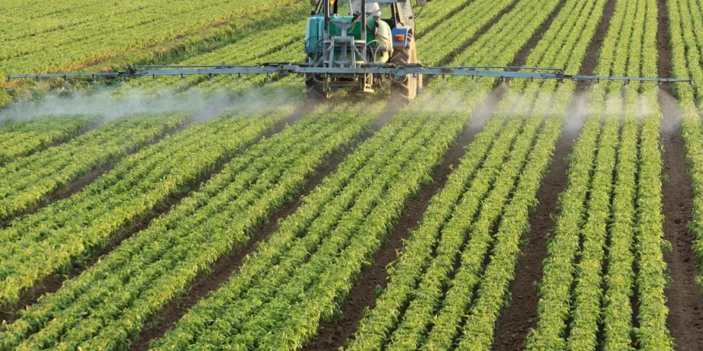
We offer specialized services for the agriculture sector, including crop monitoring, soil analysis, and resource management. Our drones can assess crop health, identify issues early, and help optimize inputs, l eading to increased efficiency and yield.
infrastructure inspection
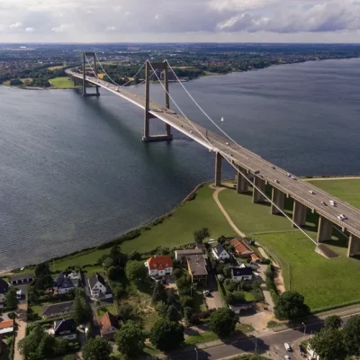
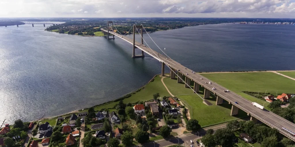
Our drones provide a safe and efficient way to inspect critical infrastructure such as bridges, roads, and pipelines. By capturing high-resolution images and videos, we can help you monitor the condition of your assets, detect potential issues early, and reduce the risk of costly repairs.